Afaylu:Locatie Middellandse Zee.PNG
Aksay n uẓṛi ad :800×489 piksil Tibuda yaḍnin:320×195 piksil | 640×391 piksil | 902×551 piksil
Afaylu anṣli (902 × 551 piksil, tiddi n ufaylu: 33 kio, anaw MIME: image/png)
| Aglam |
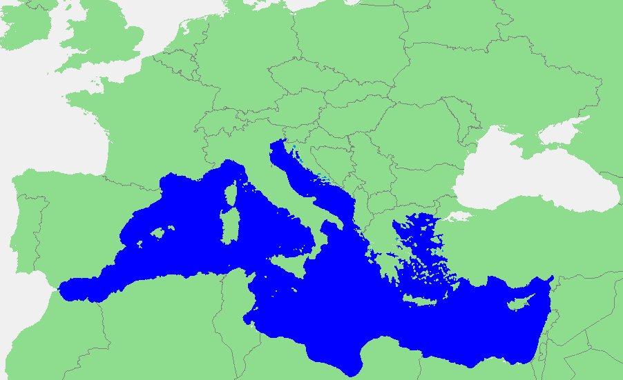
Nederlands: Locatie Middellandse Zee
中文:地中海地图 |
||||
| Asagm | own work based on PD map | ||||
| Amgay | edited by M.Minderhoud | ||||
| Turagt (Ssmrs daɣ afaylu ad) |
|
Amzruy n ufaylu
Adr i usakud/akud ad tẓrt afaylu mk lli tt inn ikka ɣ tizi ann.
| Asakud/Akud | Tawlaft mẓẓin | Imnadn | Asmras | Axfawal | |
|---|---|---|---|---|---|
| amiran | 12 Cutambir 2006 à 19:21 | | 902 × 551 (33 kio) | Michiel1972 | {{Information |Description=In dutch: {{subst:PAGENAME}} |Source= own work based on PD map |Date= |Author= edited by M.Minderhoud |Permission= {{PD-Demis}} |other_versions= }} category:Locator maps of seas |
Asmrs n ufaylu
tasna ad iḍfarn gis afaylu ad:
Aswuri aɣzuran n ufaylu
Id wiki ad ar swurin s ufaylu ad:
- Asmrs ɣ ang.wikipedia.org
- Asmrs ɣ an.wikipedia.org
- Asmrs ɣ avk.wikipedia.org
- Asmrs ɣ awa.wikipedia.org
- Asmrs ɣ bat-smg.wikipedia.org
- Asmrs ɣ be-tarask.wikipedia.org
- Asmrs ɣ bm.wikipedia.org
- Asmrs ɣ ca.wikipedia.org
- Asmrs ɣ cbk-zam.wikipedia.org
- Asmrs ɣ cdo.wikipedia.org
- Asmrs ɣ ceb.wikipedia.org
- Asmrs ɣ crh.wikipedia.org
- Asmrs ɣ csb.wikipedia.org
- Asmrs ɣ de.wikipedia.org
- Asmrs ɣ el.wikipedia.org
- Asmrs ɣ en.wikipedia.org
- Asmrs ɣ eo.wikipedia.org
- Asmrs ɣ es.wikipedia.org
- Asmrs ɣ et.wikipedia.org
- Asmrs ɣ fa.wikipedia.org
- Asmrs ɣ fiu-vro.wikipedia.org
- Asmrs ɣ fr.wikipedia.org
Ẓruggar f ussmrs amatay n ufaylu ad.